
Buy & Sell Drone Data
at Scale
The premier marketplace for drone-acquired aerial intelligence. Access high-resolution datasets across agriculture, construction, real estate, and more — without investing in your own fleet.
Enterprise-grade aerial
data infrastructure
Everything you need to acquire, process, and leverage drone-captured data at scale — built for teams that demand reliability.
Global Coverage
Access drone data from 45+ countries. Our network of certified operators captures high-resolution aerial intelligence across every continent.
Verified Quality
Every dataset undergoes rigorous quality checks. Resolution verification, metadata validation, and accuracy scoring ensure you get reliable data.
Instant Delivery
Download datasets immediately after purchase. Our CDN infrastructure delivers terabytes of data at blazing speeds worldwide.
Analytics Ready
Pre-processed datasets with standardized formats. Compatible with GIS tools, machine learning pipelines, and business intelligence platforms.
Secure Transactions
Enterprise-grade security with encrypted transfers, licensing management, and compliance with data sovereignty regulations.
Multi-Layer Data
RGB imagery, multispectral, thermal, LiDAR, and 3D point clouds. Stack multiple data layers for comprehensive aerial analysis.
Data for every sector
Specialized drone datasets tailored to the unique requirements of each industry vertical.
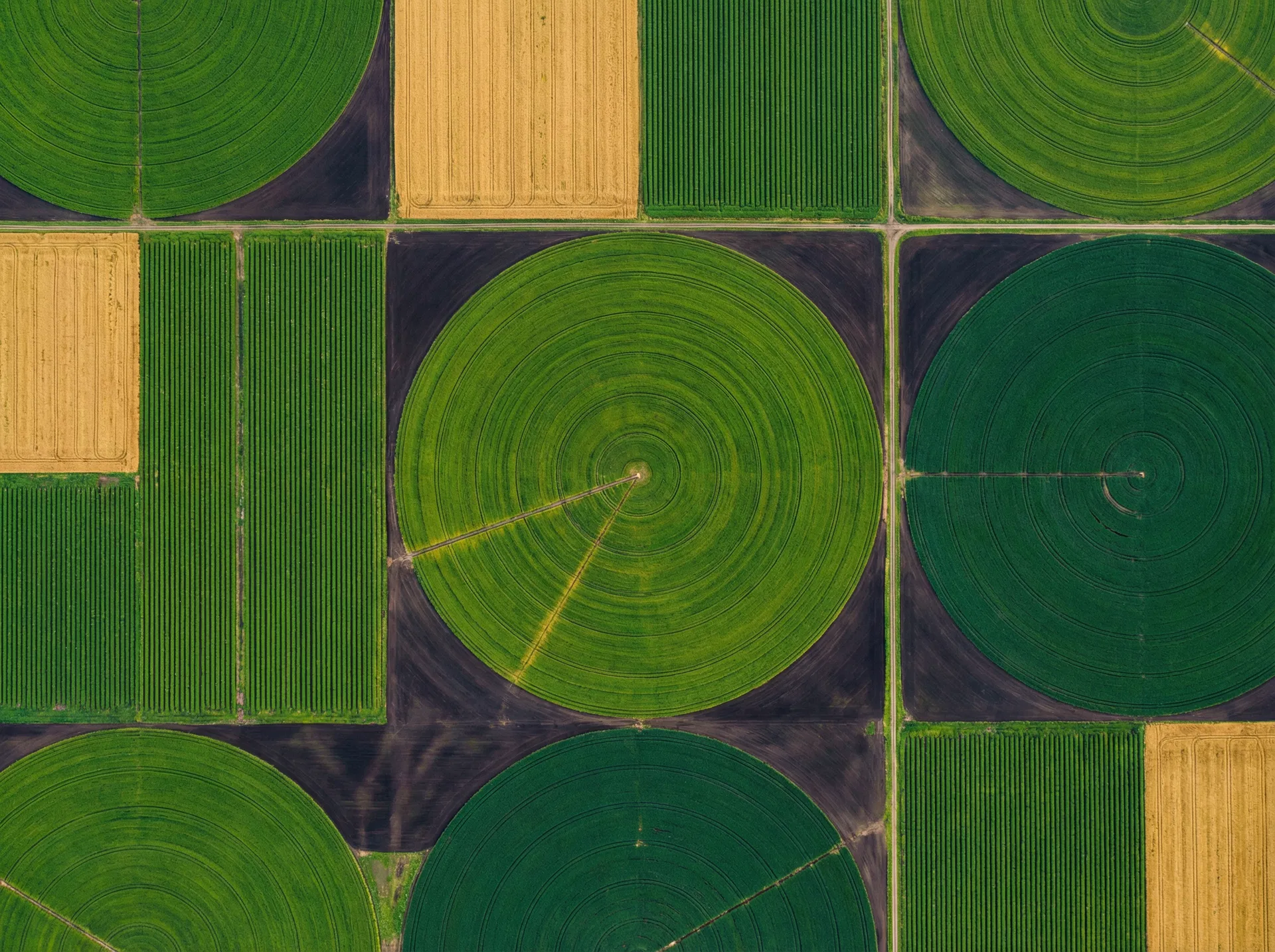
Agriculture
Crop health monitoring, yield estimation, irrigation planning, and pest detection through multispectral and NDVI analysis.

Construction
Site progress tracking, volumetric measurements, safety inspections, and as-built documentation with centimeter accuracy.

Real Estate
Property marketing aerials, neighborhood analysis, development feasibility studies, and virtual property tours.
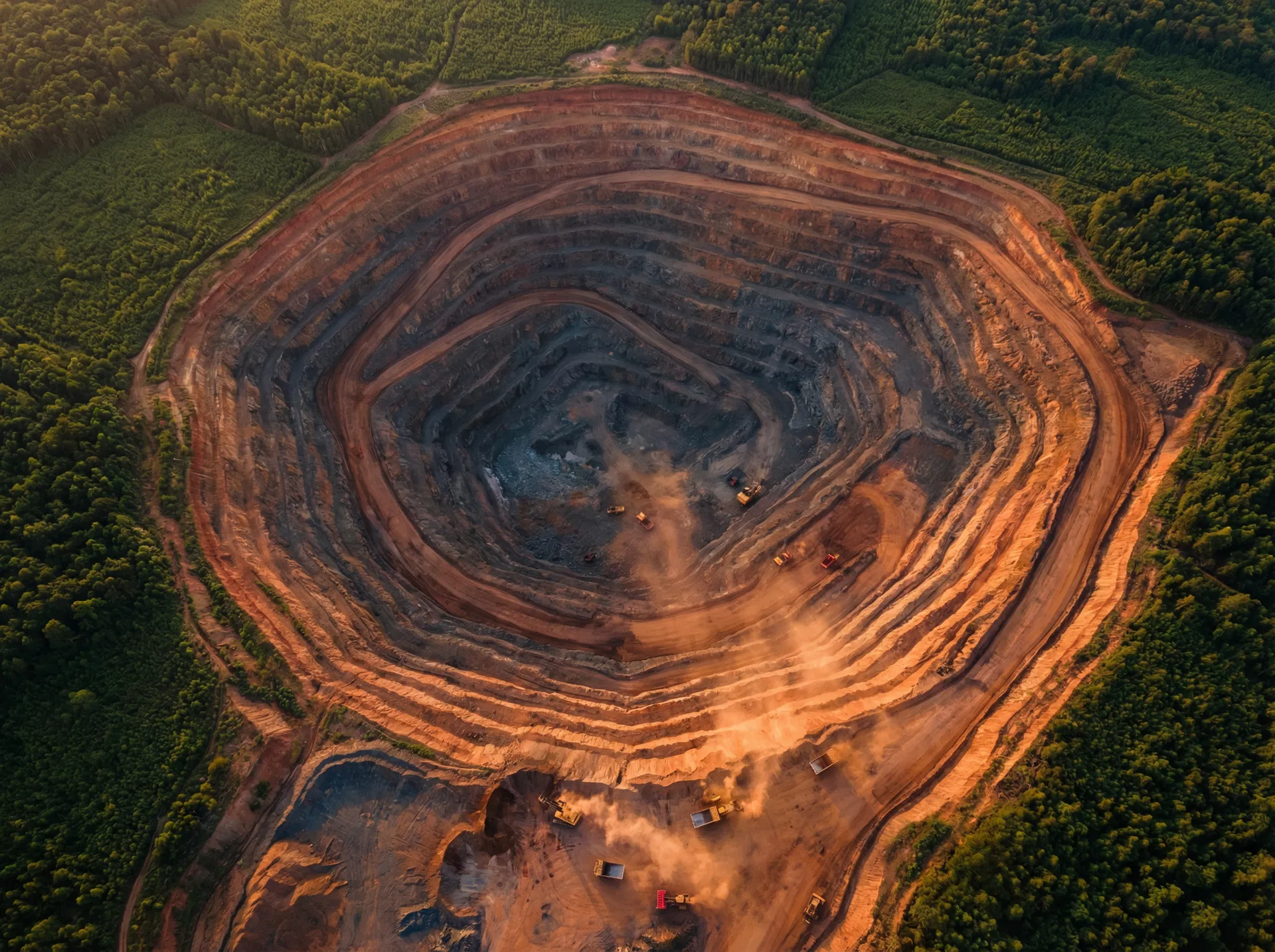
Mining
Stockpile volumetrics, pit progression mapping, environmental compliance monitoring, and geological surveys.

Insurance
Roof inspections, disaster damage assessment, risk evaluation, and claims documentation with timestamped evidence.

Energy
Solar panel inspections, wind turbine monitoring, pipeline surveys, and power line corridor mapping.
Trending on the marketplace
Discover high-quality drone datasets from verified operators worldwide. New data added daily.
Midwest Corn Belt — NDVI Analysis
by AgriScan Pro
Downtown Tower — Progress Report Q1
by SiteView Drones
Lakeside Estates — Marketing Package
by AeroVista
Open Pit Copper — Volumetric Survey
by MineSight Aerial
From search to insight
in four steps
Our streamlined workflow gets you from data discovery to actionable intelligence faster than any alternative.
Search & Discover
Browse thousands of drone datasets filtered by location, industry, data type, resolution, and date. Our AI-powered search helps you find exactly what you need.
Preview & Purchase
Preview sample data, check quality scores, and read verified reviews. Purchase with confidence using our secure payment system with instant licensing.
Download & Access
Get instant access to your datasets via our high-speed CDN. Download in multiple formats or connect directly through our API for automated workflows.
Analyze & Act
Import data into your preferred tools — GIS platforms, ML pipelines, or our built-in analytics dashboard. Turn aerial data into actionable business insights.
Scale with your needs
Flexible plans designed for every stage of growth. Start free, upgrade when you're ready.
Explorer
For individuals and small teams getting started with drone data.
- 5 dataset downloads/month
- Standard resolution data
- Basic search filters
- Email support
- Personal use license
- 7-day data access
Professional
For growing businesses that need reliable aerial intelligence.
- 25 dataset downloads/month
- High-resolution data access
- Advanced search & filters
- Priority support
- Commercial license included
- 30-day data access
- API access
- Team collaboration (5 seats)
Enterprise
For organizations requiring custom solutions and dedicated support.
- Unlimited downloads
- All data types & resolutions
- Custom data requests
- Dedicated account manager
- Enterprise license & SLA
- Perpetual data access
- Full API suite
- Unlimited team seats
- Custom integrations
Trusted by industry leaders
See how businesses across sectors are leveraging drone data to gain competitive advantages.
"SkyData transformed how we monitor crop health across our 10,000-acre operation. The multispectral data quality is exceptional, and we've reduced our scouting costs by 60%."
"We used to spend $50K per project on aerial surveys. Now we get better data from SkyData's marketplace for a fraction of the cost. The 3D point clouds are incredibly accurate."
"The real estate marketing packages on SkyData have given us a massive competitive edge. Our listings with aerial data sell 40% faster than those without."
"As an insurance adjuster, having access to timestamped aerial imagery for damage assessment has cut our claims processing time in half. The data quality is consistently excellent."
Ready to unlock aerial
intelligence?
Join 850+ enterprises already leveraging drone data to make smarter decisions. Start your free trial today.